Route 66 in New Mexico crosses high plains, mesas and pueblo lands between the Texas line at Glenrio and the Arizona border west of Gallup. It is one of the longest state sections of the highway, and the only one with two very different versions: the original 1926 route that swung north through Santa Fe, and the shorter 1937 alignment that runs straight through Albuquerque.
This guide follows the road east to west through Tucumcari, Santa Rosa, Santa Fe, Albuquerque and Gallup, explains the two alignments, and suggests how many days to give the state.
Route 66 New Mexico at a glance
| Town | Highlights |
|---|---|
| Glenrio | Ghost town on the Texas state line |
| Tucumcari | Blue Swallow Motel neon, New Mexico Route 66 Museum |
| Santa Rosa | Route 66 Auto Museum, the Blue Hole |
| Santa Fe (pre-1937 loop) | The original route through the state capital |
| Albuquerque | Central Avenue, KiMo Theatre, Nob Hill |
| Laguna and Grants | Laguna Pueblo, mesa country |
| Gallup | El Rancho Hotel |
Eastern New Mexico: Glenrio to Santa Rosa
The first sight after Texas is Glenrio, a ghost town straddling the state line. From San Jon, the old road heads to Tucumcari, the best neon town on this part of Route 66. The Blue Swallow Motel, with its restored neon sign, is the image most people associate with the town, and it received support from the National Park Service’s Route 66 Corridor Preservation Program. Tucumcari also has the New Mexico Route 66 Museum, next to the local convention center. Come after dark to see the signs lit.
Santa Rosa is next. The Route 66 Auto Museum, on the old road through town, grew out of a car restoration business and shows more than 30 privately owned cars, with a gift shop and snack bar; it opens daily. The town is also known for the Blue Hole, a natural spring-fed pool popular with divers, and for the Park Lake Historic District.
The Santa Fe loop: Route 66 before 1937
From 1926 to 1937, Route 66 in New Mexico did not go straight west from Santa Rosa. It ran north along the old Santa Fe Trail through Romeroville, Pecos and Santa Fe, then south along the Camino Real toward Albuquerque. Between Santa Fe and Albuquerque it crossed La Bajada Mesa, descending its steep south face on a series of hairpin turns, and entered Albuquerque along Fourth Street.
In 1937 the highway was realigned onto a direct east-west route through Moriarty, Albuquerque and Laguna, which cut a large chunk of distance off the trip. You can still drive the loop today on a mix of old roads and highways. It adds time but gives you Santa Fe, with its plaza and adobe architecture, which the later Route 66 skipped entirely.
Which alignment should you drive?
If you have an extra half day and have never seen Santa Fe, take the loop. If you are pressed for time or want the classic postwar Route 66 of motels and neon, stay on the 1937 route through Moriarty and Tijeras Canyon into Albuquerque.
Albuquerque: Central Avenue
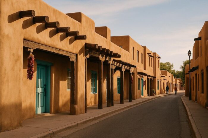
In Albuquerque, the later Route 66 became Central Avenue, and it is still the city’s main street. Along it you pass the KiMo Theatre, opened in 1927 with a distinctive Pueblo Deco design, and the Nob Hill district with its shops and restaurants. The Madonna of the Trail statue, one of a series honoring pioneer women, also stands in the city. Central Avenue makes a good evening walk, and Albuquerque is the most practical overnight stop in the middle of the state.
West of town, the road crosses the Rio Puerco on a 1933 truss bridge, then enters the lands of Laguna Pueblo.
Western New Mexico: Grants to Gallup
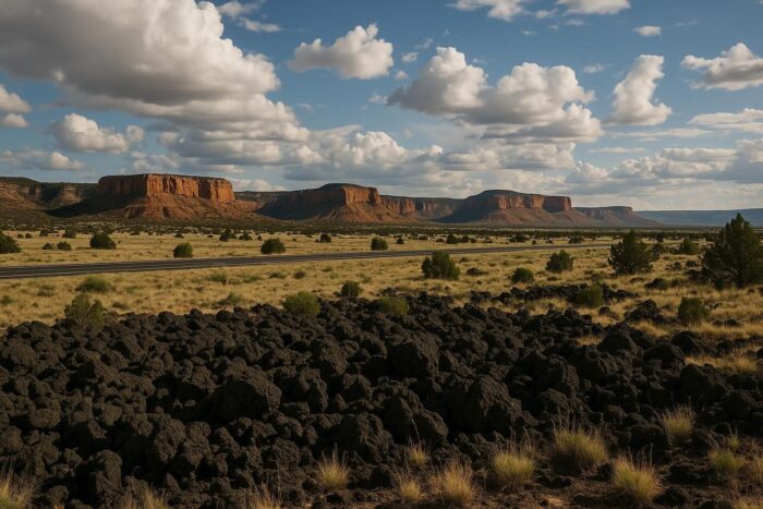
Past Laguna, the landscape turns to red mesas and old lava flows around Grants. The road crosses the Continental Divide before reaching Gallup, a trading town close to the Navajo Nation. Gallup’s El Rancho Hotel is the landmark here: over the decades it has been the temporary home of many movie stars, and the hotel still plays up that Hollywood past. From Gallup, Route 66 continues west to Arizona and Petrified Forest National Park.
How many days for Route 66 in New Mexico?
Two days covers the 1937 route comfortably: Glenrio to Santa Rosa or Albuquerque on day one, Albuquerque to Gallup on day two. Add a day for the Santa Fe loop, or to spend more time in Albuquerque. For how New Mexico fits between Texas and Arizona on the whole drive, see our Chicago to Santa Monica driving plan. For other long drives across the Southwest, our guide to the most beautiful road trips in the US has more ideas.
Elevations are high across much of the state, so expect cool nights even in summer, and snow or ice can reach this stretch of road in winter. Spring and fall are the easiest seasons, and in 2026 the Route 66 Centennial (the highway was designated on November 11, 1926) adds events along the way.
Route 66 New Mexico FAQ
Does Route 66 go through Santa Fe?
The original 1926 to 1937 alignment did. The later route bypassed Santa Fe and went straight from Santa Rosa to Albuquerque.
What is the best Route 66 town in New Mexico?
Tucumcari for neon and motels, Albuquerque for city life on Central Avenue, Gallup for its historic hotel and Native American culture.
Is there a Route 66 museum in New Mexico?
Yes: the New Mexico Route 66 Museum in Tucumcari and the Route 66 Auto Museum in Santa Rosa.
How long does it take to drive Route 66 across New Mexico?
Plan two days on the 1937 route, three with the Santa Fe loop.