The United States has more great drives than any one vacation can hold. Some are famous highways crossing half the country, others are short byways you can finish before lunch. This guide to scenic road trips in the USA sorts the classics route by route, so you can match a drive to your season, your schedule and the kind of scenery you want out the windshield.
You will find the headline routes first (Route 66, the Pacific Coast Highway, the Blue Ridge Parkway, the desert Southwest), then shorter mountain and coastal drives, then practical advice: when to go, how many days to allow and how to choose between them.
The best road trips in the USA at a glance
Lengths below are for the named route itself. Your real mileage will be higher once you add detours, side roads and the drive to the starting point.
| Route | Region | Length | Best season | Suggested time |
|---|---|---|---|---|
| Route 66 | Chicago to Santa Monica, 8 states | About 2,400 miles | Late spring, early fall | 2 weeks or more |
| Pacific Coast Highway (Highway 1) | California coast | 656 miles for the full state route | Spring, fall | 5 to 10 days |
| Blue Ridge Parkway + Skyline Drive | Virginia, North Carolina | 469 + 105 miles | Fall, late spring | 5 to 7 days |
| Scenic Byway 12 | Southern Utah | 124 miles | Spring, fall | 2 to 4 days |
| Overseas Highway | Florida Keys | 113 miles | Winter, spring | 2 to 3 days |
| Going-to-the-Sun Road | Glacier National Park, Montana | 50 miles | July to September | 1 to 2 days |
| Beartooth Highway | Montana, Wyoming | 68 miles | Summer | 1 day |
| Oregon Coast Highway (US 101) | Oregon | 363 miles | Summer, early fall | 4 to 6 days |
| Great River Road | Minnesota to Louisiana, 10 states | About 2,000 miles | Fall | 2 weeks or more |
Route 66: the classic cross-country drive
No list of great road trips in the USA gets far without Route 66. The Mother Road runs roughly 2,400 miles (most guides quote 2,448) from Chicago to Santa Monica through Illinois, Missouri, Kansas, Oklahoma, Texas, New Mexico, Arizona and California. It was officially established on November 11, 1926, which makes 2026 its centennial year, with events organized along the route in all eight states.
Route 66 was removed from the U.S. highway system in 1985 and replaced by interstates, so there is no single road signed from end to end anymore. Driving it means following “Historic Route 66” signs, old alignments and frontage roads, and occasionally hopping onto I-40 or I-44 where the original pavement is gone. That patchwork is part of the appeal: small towns, neon motel signs, diners and roadside oddities that the interstates bypassed.
The scenery shifts in stages. Illinois and Missouri are farmland and small towns, Oklahoma holds a long stretch of original roadway, and from New Mexico west the landscape opens into mesas, painted desert and the Mojave. The Arizona section around Seligman, Kingman and the climb to Oatman is often considered the most atmospheric.
How long to plan for Route 66
You can technically cover the distance in five or six long days, but that leaves no time for the stops that make the trip worth it. Two weeks is a comfortable minimum, and three lets you slow down in Oklahoma, New Mexico and Arizona. Summer heat in the desert Southwest is intense, which is why late spring and early fall are the favorite windows.
Pacific Coast Highway: ocean views from Southern California to the redwoods
California State Route 1 runs 656 miles from Dana Point in Orange County to Leggett in Mendocino County, where it meets US 101. Only the southern portion is officially named the Pacific Coast Highway, but “PCH” has become shorthand for the whole coastal drive. It is one of the most scenic road trips in the US because the ocean stays in view for long stretches rather than in occasional glimpses.
The highlight is Big Sur, roughly 90 miles of cliffs between Carmel and San Simeon, with Bixby Bridge, McWay Falls in Julia Pfeiffer Burns State Park and the elephant seal colony near Piedras Blancas. South of there you pass Morro Bay, Pismo Beach, Santa Barbara and the 21-mile stretch through Malibu. North of San Francisco, the Shoreline Highway section is quieter and wilder, heading toward Mendocino and the redwood country.
Highway 1 road status in 2026
Big Sur has a long history of closures. Highway 1 at Regent’s Slide reopened on January 14, 2026, restoring through traffic between Carmel and Cambria for the first time in almost three years. The road closed again in stages in summer 2026 because of the Timber and Plaskett fires, then fully reopened on September 14, 2026. Winter storms can close it again at short notice, so check Caltrans road conditions and the status of Big Sur state parks the week you travel. In Malibu, PCH reopened between Santa Monica and Malibu in May 2025 after the Palisades Fire closure, with recovery work causing occasional lane closures since.
Blue Ridge Parkway and Skyline Drive: the East Coast mountain drive
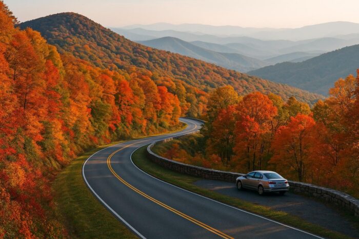
If you want mountain scenery without Western distances, the Blue Ridge Parkway is the answer. It runs 469 miles through the Virginia and North Carolina mountains, from the southern end of Shenandoah National Park to Great Smoky Mountains National Park near Cherokee. Add Skyline Drive, the 105-mile road through Shenandoah, and you have a continuous park-to-park ridgeline route.
Commercial trucks are not allowed on the Parkway, there are no billboards, and the speed limit is low, so the pace stays relaxed. Mileposts make navigation easy, and overlooks come every few miles. October is peak season for fall color, and it is busy for a reason.
Blue Ridge Parkway closures after Hurricane Helene
Hurricane Helene damaged large parts of the North Carolina section in September 2024. By September 2026 most of the Parkway had reopened, including the area around Blowing Rock, but sections between Linville Falls and the Mount Mitchell area were still closed for landslide repairs, with park officials targeting a full North Carolina reopening by the end of 2026. Check the National Park Service closure map before you commit to a through-drive.
The Southwest: red rock country and national parks
The desert Southwest packs the densest cluster of national parks in the country, which makes it one of the best places to road trip in the USA if you like hiking between drives. Southern Utah alone has five national parks: Zion, Bryce Canyon, Capitol Reef, Arches and Canyonlands.
The standout drive is Utah’s Scenic Byway 12, a designated All-American Road that runs 124 miles and links Bryce Canyon National Park, Grand Staircase-Escalante National Monument and Capitol Reef National Park. Parts of it follow narrow ridges with drop-offs on both sides. Combine it with Zion to the west and Arches and Canyonlands near Moab to the east for a loop that fills a week without feeling rushed.
Arizona and New Mexico round out the region: the Grand Canyon, Monument Valley on the Navajo Nation, Sedona’s red rocks and the Route 66 towns. Summer brings extreme heat at lower elevations, while spring and fall are mild and clear.
Mountain drives in the northern Rockies
Going-to-the-Sun Road, Glacier National Park
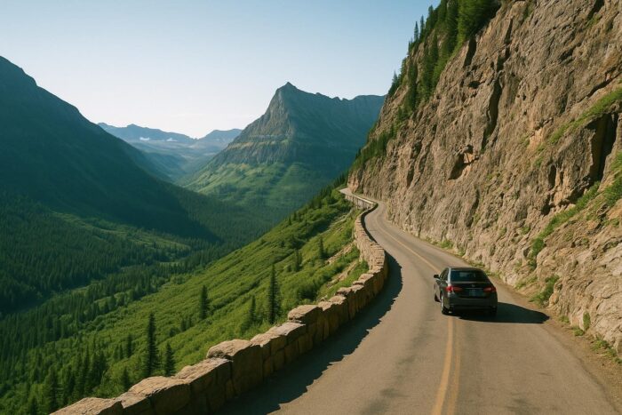
This 50-mile road crosses Glacier National Park over Logan Pass, clinging to cliffs above glacial valleys. It is only fully open for a short summer window: in 2026 the full route opened on June 22. The park also dropped its timed-entry vehicle reservation system for 2026, though parking at Logan Pass was limited to three hours starting July 1. Rules here change from year to year, so check before you go.
Beartooth Highway, Montana and Wyoming
The Beartooth Highway runs 68 miles from Red Lodge, Montana, to the Northeast Entrance of Yellowstone, topping out at Beartooth Pass at 10,947 feet. It is typically open from mid-May to mid-October, weather permitting. Pair it with Yellowstone and Grand Teton for one of the most dramatic mountain loops in the country.
Coastal and island drives
Overseas Highway, Florida Keys
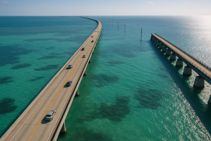
US 1 through the Florida Keys runs 113 miles from Key Largo to Key West across 42 bridges, including the Seven Mile Bridge. It is an All-American Road and feels unlike anything else on this list: long stretches with water on both sides. Winter and spring are the most comfortable seasons, and hurricane season runs through the fall.
Oregon Coast Highway
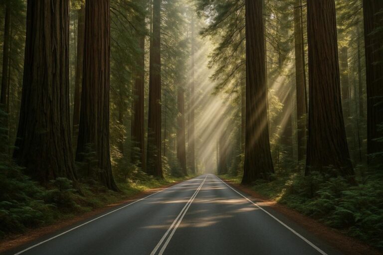
US 101 follows the entire Oregon coast for 363 miles, from the California line near Brookings to Astoria on the Columbia River. Expect sea stacks, headlands, lighthouses and small beach towns. Summer and early fall usually bring the clearest weather. Continue south into California and you reach the redwoods and the Avenue of the Giants, a 31-mile road through Humboldt Redwoods State Park.
Heartland and New England routes
The Great River Road follows the Mississippi River for about 2,000 miles through ten states, from Lake Itasca in Minnesota to Venice, Louisiana. The northern half through Minnesota, Wisconsin and Iowa is at its best in fall, with river bluffs and small river towns. The southern half leans toward music and food history: Memphis, the Mississippi Delta and New Orleans.
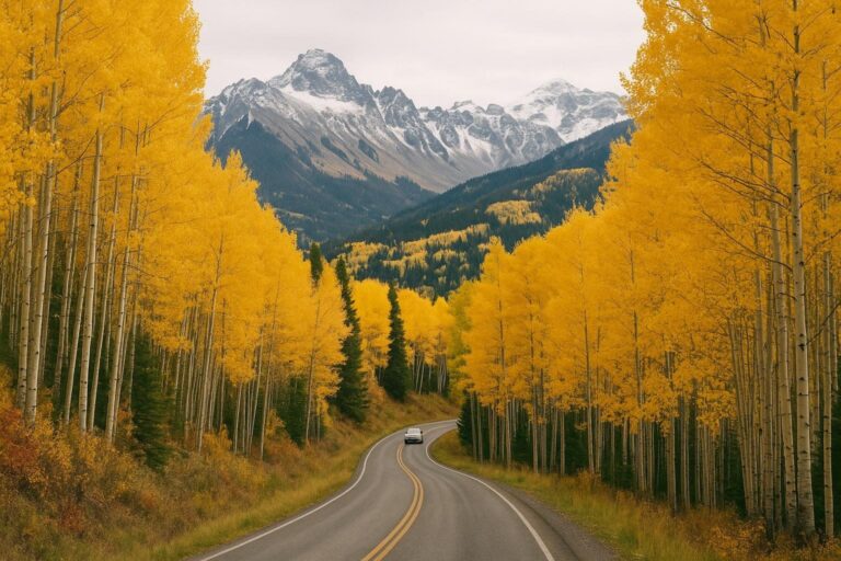
New England is the go-to region for fall foliage. The Kancamagus Highway through New Hampshire’s White Mountains, between Lincoln and Conway, is one of the most popular leaf-peeping drives in September and October. Vermont’s back roads and coastal Maine make easy extensions.
When to go on a US road trip
Season matters more than almost any other planning choice, because the same route can be closed, crowded or scorching depending on the month.
- Spring (April to early June): ideal for the desert Southwest and the California coast. High mountain roads are often still closed by snow.
- Summer (late June to August): the only reliable window for Going-to-the-Sun Road, Beartooth and Tioga Pass in Yosemite. Expect crowds in national parks and heat in the desert.
- Fall (September to October): arguably the best all-round season. Foliage in New England and on the Blue Ridge Parkway, mild weather in the Southwest, fewer crowds on the Pacific coast.
- Winter (November to March): head south. The Florida Keys, southern Arizona and Southern California are pleasant, while many mountain passes close.
How long should a road trip across the USA take?
A useful rule of thumb is to plan no more than four to five hours of driving on most days. That leaves time for stops, short hikes and meals that are not eaten from a gas station counter. Build in one full rest day for every four or five days of driving on longer trips.
- A long weekend: one short byway plus a nearby town or park.
- One week: a regional loop, such as Utah’s parks, Big Sur and the Central Coast, or Skyline Drive and the northern Blue Ridge Parkway.
- Two weeks: Route 66 at a steady pace, or the full California and Oregon coast.
- Three weeks or more: a true coast-to-coast drive, or Route 66 with detours to the Grand Canyon and Monument Valley.
How to choose the best road trip route in the USA
Start with how many days you actually have, then work backward. A route that needs twice your available time turns into a blur of highway miles. Next, decide what you want to look at: ocean, mountains, desert, forests or small towns. Most travelers find one strong theme more satisfying than a trip that tries to cover everything.
Consider logistics too. One-way trips like Route 66 or the full Pacific coast usually mean a one-way car rental, which often carries a drop-off fee, while loops avoid it. Check whether the route crosses high passes that close seasonally, and whether popular national parks require timed entry or campground reservations in your travel month. Finally, think about who is in the car. Long empty desert stretches that thrill one driver can wear out young kids, while short scenic byways with frequent stops suit families well.
Practical tips for any American road trip
- Download offline maps before you leave. Cell coverage disappears in much of the West, in national parks and on stretches of Big Sur.
- Fill up when you can in remote regions. Gas stations can be far apart in Utah, Nevada and parts of Montana.
- Check official road status pages (state DOTs and the National Park Service) the day before you drive any mountain or coastal route.
- Book lodging ahead near popular parks in peak season, when gateway towns fill up fast.
- Carry water, snacks and layers. Temperatures can swing widely between a desert valley and a mountain pass on the same day.
FAQ: scenic road trips in the USA
What is the most scenic road trip in the USA?
There is no single answer, but the Big Sur section of the Pacific Coast Highway, the Blue Ridge Parkway in October and Utah’s Scenic Byway 12 appear on almost every shortlist. For sheer mountain drama, Going-to-the-Sun Road and the Beartooth Highway are hard to beat.
Is the Pacific Coast Highway open through Big Sur in 2026?
Highway 1 fully reopened through Big Sur on September 14, 2026, after summer wildfire closures. Conditions change quickly with storms and fires, so check Caltrans before you leave.
How many days do you need to drive Route 66?
Plan at least two weeks to enjoy it. Three weeks allows detours to the Grand Canyon and a slower pace through the best-preserved sections.
What is the best time of year for a road trip in the USA?
Fall works for the most routes at once: foliage in the East, mild temperatures in the Southwest and most mountain roads still open until mid-October.