California packs more variety into one state than most countries: a rugged Pacific coastline, the granite walls of Yosemite, old-growth redwoods, alpine passes and two deserts. A California road trip can focus on one of these landscapes or string several together in a loop, and San Francisco makes a natural starting point for most of them.
This guide covers the most scenic routes in the state, what each one offers, when to drive it and how to combine them into itineraries of one to two weeks.
California road trip routes at a glance
| Route | Highlights | Best season | Watch out for |
|---|---|---|---|
| Highway 1, Big Sur | Cliffs, Bixby Bridge, McWay Falls, elephant seals | Spring, fall | Landslide and fire closures |
| North Coast and redwoods | Mendocino coast, Avenue of the Giants | Summer, fall | Fog, winding roads |
| Yosemite and Tioga Road | Yosemite Valley, Tuolumne Meadows, Tioga Pass | Summer, early fall | Tioga closes in winter |
| Eastern Sierra (US 395) | Mono Lake, Mammoth Lakes, Sierra views | Summer, fall | Winter storms |
| Desert parks | Death Valley, Joshua Tree | Late fall to spring | Extreme summer heat |
Starting your road trip in San Francisco
San Francisco sits between the two great coastal drives in the state. Head north across the Golden Gate Bridge and you are quickly into Marin County, with Highway 1 winding toward the Sonoma and Mendocino coasts. Head south and Highway 1 follows the coast past Half Moon Bay and Santa Cruz toward Monterey and Big Sur. Yosemite lies to the east, so a road trip from San Francisco can cover coast and mountains in the same week.
If you rent a car in the city, pick it up on the day you leave rather than on arrival. Parking in San Francisco is expensive and hard to find, and you will not need a car for the city itself.
Highway 1 and Big Sur: the classic coastal drive
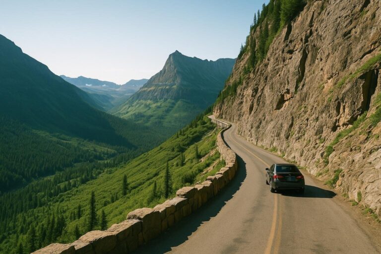
State Route 1 is California’s signature road, running 656 miles along the coast from Dana Point to Leggett. The most famous stretch is Big Sur, about 90 miles between Carmel and San Simeon, where the road is carved into cliffs high above the Pacific. Stops include Bixby Bridge, McWay Falls in Julia Pfeiffer Burns State Park and the free elephant seal viewing area near Piedras Blancas.
Big Sur’s road status changes often. Highway 1 reopened at Regent’s Slide on January 14, 2026, after nearly three years of closures, then closed again in parts during the summer 2026 Timber and Plaskett fires. It fully reopened on September 14, 2026. Before you drive, check Caltrans QuickMap and the status of the state parks along the coast, since some parks can stay closed after a road reopens.
South of Big Sur, the drive continues past Morro Bay, Pismo Beach and Santa Barbara to Malibu and Los Angeles, the section officially called the Pacific Coast Highway.
The North Coast and the redwoods
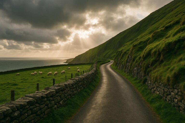
North of San Francisco, Highway 1 becomes the Shoreline Highway, a quieter and more rugged coast than Big Sur, with headlands, small towns and very little traffic. It rejoins US 101 at Leggett, where the redwood country begins.
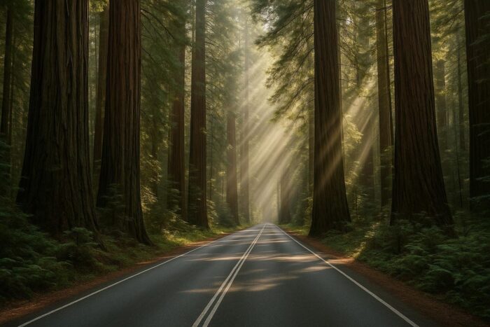
Just north, the Avenue of the Giants is a 31-mile road through Humboldt Redwoods State Park, running parallel to US 101 along the South Fork of the Eel River. Driving it slowly, with stops for short forest walks, is one of the most memorable days you can have in the state. Continue north to reach Redwood National and State Parks near the Oregon border.
Yosemite and the Tioga Road
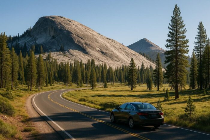
Yosemite is the mountain centerpiece of most California road trip ideas. Yosemite Valley, with El Capitan, Half Dome and its waterfalls, is open year-round. The Tioga Road (State Route 120) crosses the park to the east over Tioga Pass at 9,945 feet, the highest highway pass in California, and passes Tuolumne Meadows on the way.
Tioga Pass typically closes from around the end of October until late May or June, depending on snow, so a route over the Sierra is a summer and early fall plan. For 2026, Yosemite did not use a peak-hours or day-use reservation system for park entry. Rules change from year to year, so check the National Park Service website before you go.
The Eastern Sierra on US 395
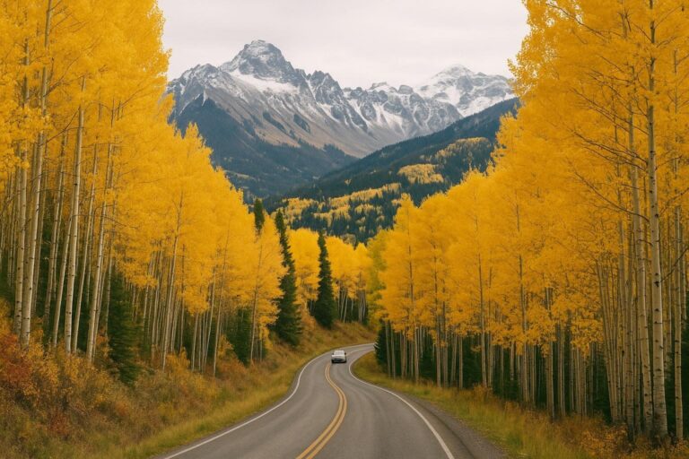
Coming down from Tioga Pass, you reach Lee Vining and US 395, one of the most underrated roads in the West. The highway runs along the steep eastern face of the Sierra Nevada, past Mono Lake, Mammoth Lakes and Bishop, with side roads leading up to alpine lakes and trailheads. Fall color in the aspen groves can be excellent, and the road makes a scenic link between Yosemite and the desert parks to the south.
Desert road trips: Death Valley and Joshua Tree
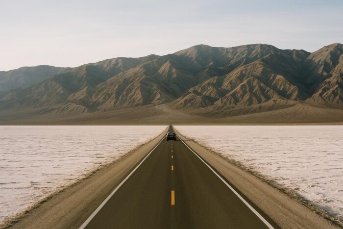
California’s deserts are a cold-season destination. Death Valley National Park is known for extreme summer heat, so plan to visit between late fall and spring. Its salt flats, dunes and colorful canyons make for dramatic driving. Joshua Tree National Park, east of Palm Springs, is famous for its namesake trees and boulder formations, and is also best outside summer.
Carry plenty of water, fill your tank before entering either park, and download offline maps, since cell service is limited.
California road trip ideas by length
5 to 7 days: San Francisco to Los Angeles on the coast
Drive south on Highway 1 through Santa Cruz and Monterey, spend a full day or two in Big Sur, then continue through San Luis Obispo County, Santa Barbara and Malibu to Los Angeles. This is the classic one-way California road trip.
7 to 10 days: coast and Yosemite loop
From San Francisco, drive to Yosemite for two or three nights, return to the coast via Monterey, and drive Big Sur before heading back north. This loop avoids one-way car rental fees.
10 to 14 days: the grand loop
In summer or early fall, combine San Francisco, Yosemite, Tioga Pass, US 395 and the Eastern Sierra, then head west to the coast through Southern California and drive Highway 1 north through Big Sur back to San Francisco. In late fall or spring, swap the Sierra crossing for Death Valley and Joshua Tree.
Practical tips for driving in California
- Check Caltrans road conditions daily, especially for Highway 1 and mountain passes.
- Book lodging early near Yosemite and in Big Sur, where options are limited.
- Carry chains or rent a suitable vehicle if you drive mountain roads outside summer, when chain controls may apply.
- Expect coastal fog in summer, especially in the morning. Fall often brings clearer skies on the coast.
California is one stop on a much longer list. If you are comparing it with other regions, our guide to the best road trips across America covers Route 66, the Blue Ridge Parkway and the Southwest, with advice on seasons and trip length.
California road trip FAQ
How many days do you need for a California road trip?
A week covers the coast from San Francisco to Los Angeles. Allow 10 to 14 days to add Yosemite, the Eastern Sierra or the desert parks.
Is Highway 1 open through Big Sur?
Highway 1 fully reopened through Big Sur on September 14, 2026, after summer wildfire closures. Storms and slides can close it again, so check Caltrans before you leave.
What is the best time for a road trip in California?
September and October are often ideal: clearer coastal weather, open mountain passes and fewer crowds. Deserts are best from late fall to spring.
What are good road trip ideas from San Francisco?
Head south on Highway 1 to Monterey and Big Sur, north to the Mendocino coast and the redwoods, or east to Yosemite. A long weekend covers any one of them; a week lets you combine the coast and the mountains.
Should I drive Highway 1 north to south or south to north?
Driving north to south puts you in the lane closest to the ocean, which makes it easier to pull into coastal turnouts.