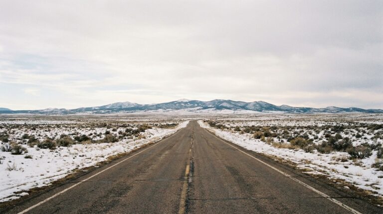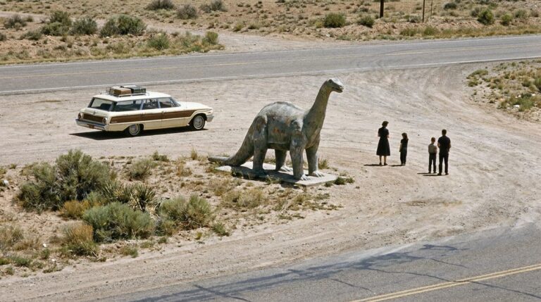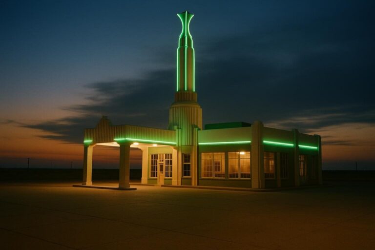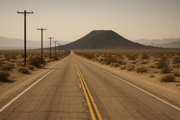
Route 66 in California covers a little over 300 miles, from the Colorado River at Needles to the Pacific in Santa Monica. It is a trip in two halves: first an empty, spectacular crossing of the Mojave Desert, then a slow crawl through the suburbs of the Inland Empire and Los Angeles to the ocean.
Here is how the California stretch of Route 66 unfolds from east to west, what to stop for, what to watch out for in the desert, and how to finish the trip at Santa Monica. California took down its US 66 signs in 1974, about a decade before the highway was retired nationally, so follow historic Route 66 markers and a good map rather than highway numbers.
Route 66 California at a glance
| Section | Main stops | What to expect |
|---|---|---|
| Needles to Barstow | Goffs, Essex, Amboy, Ludlow, Newberry Springs | Open desert, few services, possible closures |
| Barstow to Victorville | Harvey House, Oro Grande, Victorville | Old road along the Mojave River, two museums |
| Cajon Pass to Pasadena | San Bernardino, Rancho Cucamonga, Pasadena | Descent into the LA basin, suburban traffic |
| Los Angeles to Santa Monica | Downtown LA, Santa Monica | City driving to the Pacific |
The Mojave Desert: Needles to Barstow
Route 66 enters California across the Colorado River near Needles. The 1916 Trails Arch Bridge that once carried the road still stands but no longer takes traffic: its deck was removed to carry a natural gas pipeline. From Needles, the old road, known here as the National Trails Highway, loops away from I-40 through Goffs and Essex, then crosses long stretches of creosote flats and lava fields to Amboy.
Amboy is little more than Roy’s Motel and Café and its famous sign, but it is one of the best-known photo stops on the whole route. Farther west come Ludlow and Newberry Springs before the road reaches Barstow.
Check closures before you go
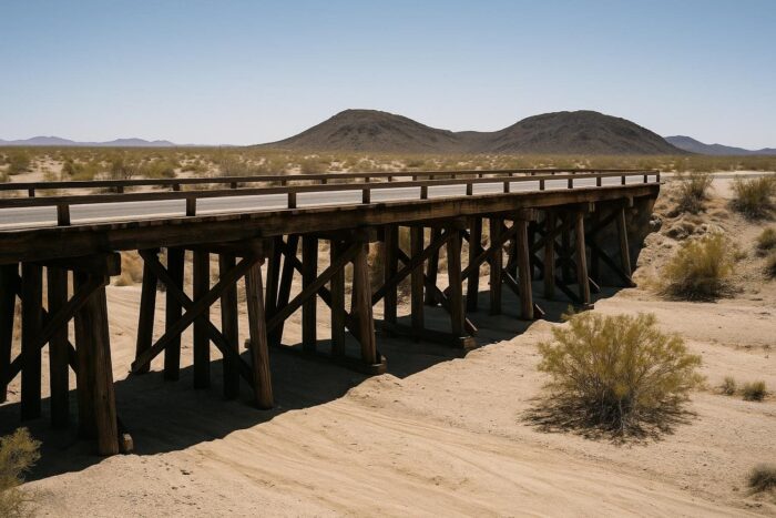
San Bernardino County maintains about 150 miles of Route 66, and many of the old timber bridges in the desert have needed repair or replacement. Some segments have been closed for long periods, and repairs on dozens of timber bridges were expected to run into 2027. One bridge east of Amboy closed in February 2024 and reopened in March 2024 after emergency repairs. Before you commit to the desert loop, check the county public works page for the current status, and be ready to use I-40 as a detour.
Carry plenty of water, fill up in Needles or Barstow, and avoid the midday heat in summer, when this part of the Mojave is dangerously hot.
Barstow and Victorville: the Route 66 museum towns
Barstow is the first real town after the desert. Its 1911 Harvey House, Casa del Desierto, is a Spanish-and-Moorish-style railroad depot and hotel that now holds the Route 66 Mother Road Museum, the Western America Railroad Museum and a passenger train station. The Route 66 museum reopened in March 2025 and keeps short midday hours, so time your visit.
From Barstow, the old road follows the Mojave River through Helendale and Oro Grande to Victorville. The California Route 66 Museum there focuses on the westernmost part of the highway and the Victor Valley. It is free and open daily, from 10 a.m. on weekdays and Saturdays and 11 a.m. on Sundays.
Cajon Pass to Pasadena
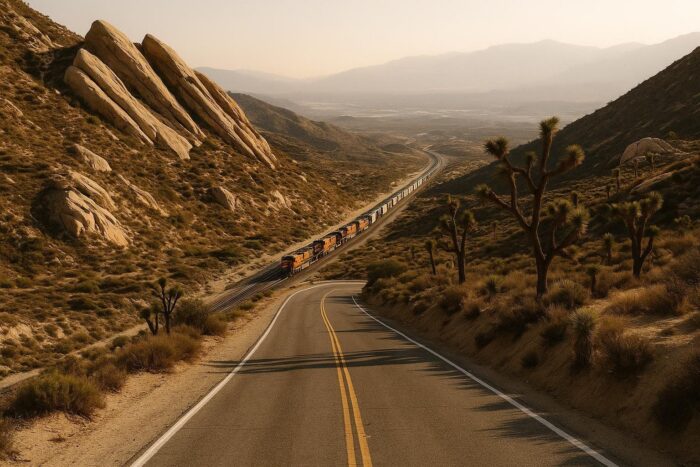
South of Victorville, the road climbs out of the high desert and drops through Cajon Pass into the Los Angeles basin. The landscape changes fast, from Joshua trees to suburbs. In Rialto, the Wigwam Motel is one of the tipi-shaped motor courts that became symbols of the road; Holbrook, Arizona, has another.
From there Route 66 runs west along Foothill Boulevard through Rancho Cucamonga and the foothill towns toward Pasadena. The Arroyo Seco Parkway, one of the earliest freeways in the West, carried later alignments of Route 66 between Pasadena and downtown Los Angeles. Expect traffic lights and stop-and-go driving: this is the slowest part of the trip, mile for mile.
Los Angeles to Santa Monica: the end of the trail
Through Los Angeles, the historic road follows city boulevards west toward the coast. Most travelers end at Santa Monica Pier, where an “End of the Trail” sign is the classic finish-line photo, even if the historic highway officially ended a short distance inland. Arrive in the late afternoon if you can: the traffic is heavy, but sunset over the Pacific is a fitting way to close out more than 2,000 miles.
2026 is a special year to arrive here. Route 66 was designated on November 11, 1926, and centennial events are taking place in all eight states, California included.
How many days for Route 66 in California?
Two days works well: one from Needles to Barstow or Victorville, including the desert and the museums, and one from the high desert to Santa Monica. If desert closures force you onto I-40, you can compress it into one long day. For the full east to west pacing and how California fits after Arizona, see the complete Mother Road trip plan. If you want to keep driving once you hit the coast, our list of America’s top scenic routes covers the Pacific Coast Highway and other drives nearby.
Spring and fall are the best seasons. Summer is brutally hot in the Mojave, and winter storms can close Cajon Pass for short periods.
Route 66 California FAQ
Where does Route 66 end in California?
In Santa Monica. The “End of the Trail” sign on Santa Monica Pier is the traditional finish, a short distance from the historic end point.
Is Route 66 in the Mojave Desert open?
Parts of the National Trails Highway have been closed for bridge repairs, with work planned into 2027. Check San Bernardino County’s public works page before you go.
What are the best Route 66 stops in California?
Amboy, the Barstow Harvey House and its museum, the Victorville museum, the Wigwam Motel in Rialto and Santa Monica Pier.
How long is Route 66 in California?
A little over 300 miles, depending on the alignment, from Needles to Santa Monica.