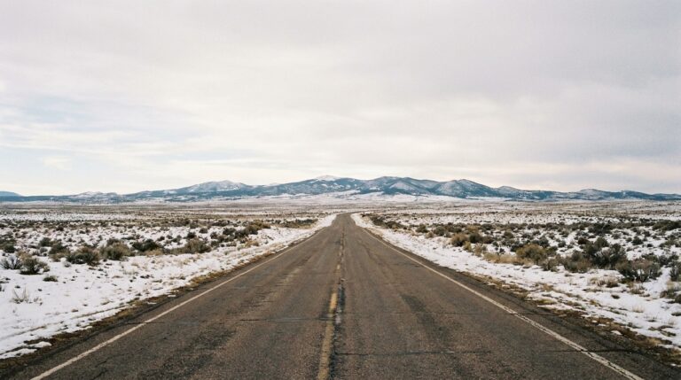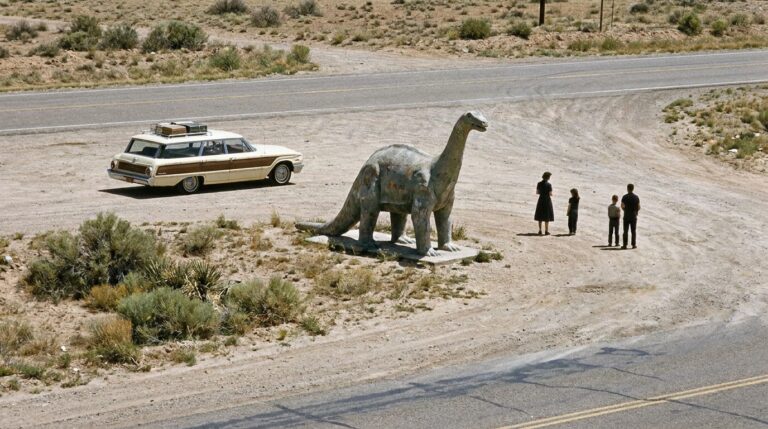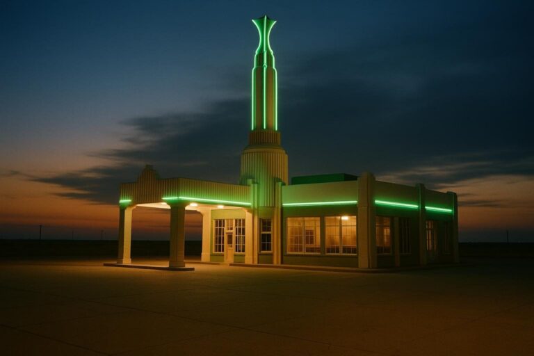
Route 66 in Arizona runs close to 400 miles, from the New Mexico line near Lupton to the Colorado River at Topock. It is the state where the old road feels most intact: the stretch between Seligman and Kingman is often called the longest continuous surviving piece of Route 66, and the last town bypassed by the interstate, Williams, is here too.
This guide follows the road from east to west, the direction most people drive it, and flags the stops worth your time: Petrified Forest, Winslow, Flagstaff, Williams, Seligman, Kingman and the mountain climb to Oatman.
Route 66 Arizona at a glance
| Stop | Why go |
|---|---|
| Petrified Forest National Park | The only national park with a section of historic Route 66 |
| Holbrook | Wigwam Motel, a tipi-shaped motor court |
| Winslow | Standin’ on the Corner Park |
| Flagstaff | Downtown along the Santa Fe Railway depot |
| Williams | Last Route 66 town bypassed by I-40, in 1984 |
| Seligman | Where the Historic Route 66 Association of Arizona began in 1987 |
| Hackberry and Kingman | General store, Arizona Route 66 Museum |
| Oatman | Old mining town with wild burros, reached over Sitgreaves Pass |
Eastern Arizona: Painted Desert to Winslow
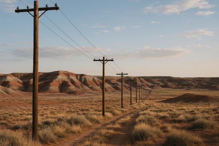
Coming from Gallup, the first big stop is Petrified Forest National Park. Inside the park, traces of the old roadbed and a line of weathered telephone poles mark where Route 66 crossed the Painted Desert, and the National Park Service describes it as the only park in its system that contains a section of the historic highway. The Painted Desert Inn, a former rest stop for Route 66 travelers, stands nearby.
Holbrook is next, with its Wigwam Motel, one of the tipi-shaped motor courts that became a symbol of the road. Then comes Winslow, where Standin’ on the Corner Park honors “Take It Easy,” the song written by Jackson Browne and Glenn Frey and recorded by the Eagles. The park, opened in 1999, has a two-story trompe-l’oeil mural, a vintage flatbed truck and a bronze statue. Between Winslow and Flagstaff, Meteor Crater lies a short detour south of the interstate, and the ruins of Two Guns, a former Old West roadside attraction, sit near Canyon Diablo.
Route 66 Flagstaff and Williams
Route 66 in Flagstaff follows the railroad through downtown, past the old Santa Fe Railway depot, and the town makes a comfortable overnight stop at nearly 7,000 feet, cooler than the desert on either side. It is also the base for day trips north to the Grand Canyon.
Williams, about half an hour west, is the other Grand Canyon gateway and a Route 66 landmark in its own right. It held off Interstate 40 in court until October 13, 1984, making it the last Route 66 town to be bypassed. Its historic downtown still loops along the old alignment, and in 1984 US 66 was also removed from Arizona’s state highway system. For a night on the road, Flagstaff has more choice; Williams has more small-town Route 66 atmosphere.
Seligman to Kingman: the classic stretch
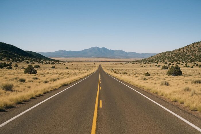
West of Ash Fork, the interstate and the old road split, and this is where Arizona earns its reputation. From Seligman, Route 66 swings north of I-40 through the Hualapai lands around Peach Springs, then Truxton, Valentine and Hackberry, before reaching Kingman. Sources put this uninterrupted segment at roughly 105 miles from Seligman to Kingman, and longer if you count on to the Colorado River.
Seligman is where barber Angel Delgadillo and other residents founded the Historic Route 66 Association of Arizona in 1987, the group that pushed to get the road recognized again after the interstates emptied its towns. Today the main street is lined with souvenir shops and old signs. Farther on, Peach Springs is the turnoff for Grand Canyon Caverns, and the Hackberry General Store, reopened by artist Bob Waldmire in 1992, is a favorite photo stop, with its old pumps and cars out front.
Plan fuel and water before you leave Seligman: services are thin until Kingman, and summer heat on this high desert road is no joke.
Kingman Route 66 stops
Kingman is the practical hub of western Arizona, at the junction with US 93. Its Historic Powerhouse, an early 1900s power plant that once supplied the town and area mines, now houses the Arizona Route 66 Museum, the Route 66 Electric Vehicle Museum and the visitor center. The museum is open daily from 8 a.m. to 5 p.m., and admission is paid. The museum refreshed its displays in 2025 for the Route 66 Centennial, with interactive kiosks and large historic photo walls.
Kingman is also where you decide how to finish Arizona: the easy way on I-40 to Needles, or the old road over the Black Mountains.
Oatman and Sitgreaves Pass
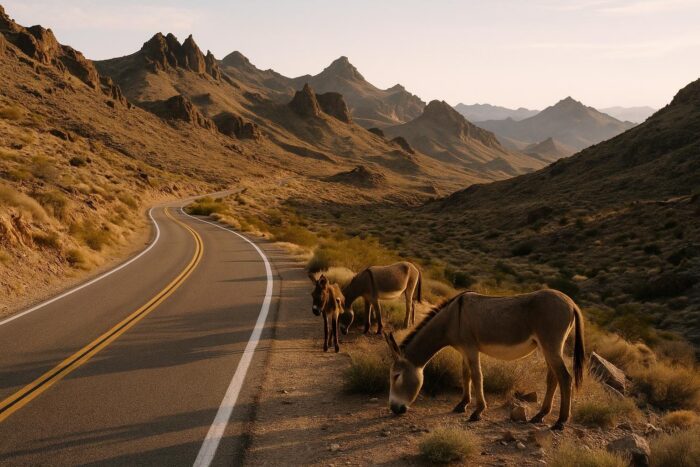
The old alignment west of Kingman climbs to Sitgreaves Pass, at about 3,550 feet, on a narrow road with tight switchbacks and steep drop-offs. It is a beautiful drive, but not one for large RVs or trailers. On the other side, Oatman is a former gold mining town where wild burros wander the main street. From there, the road drops to Topock and the Colorado River, the border with California.
How many days for Route 66 in Arizona?
Two full days is a comfortable minimum: one from Petrified Forest to Flagstaff or Williams, one from Williams to Kingman on the old road. Add a third if you want Oatman and a Grand Canyon day trip. For the pacing of the whole highway, from Illinois to the Pacific, see the full Mother Road itinerary, state by state. And if you are weighing Arizona against other regions, our guide to the great American scenic drives compares the main routes.
Timing matters here. Summer brings extreme heat in the low desert near Kingman and Oatman, while Flagstaff and Williams can get snow in winter. Spring and fall are the easiest seasons, and 2026 adds centennial events along the road.
Route 66 Arizona FAQ
What is the best part of Route 66 in Arizona?
The Seligman to Kingman stretch, which stays off the interstate and passes Peach Springs, Truxton and Hackberry.
Does Route 66 go through Flagstaff?
Yes. The old road runs through downtown Flagstaff alongside the railroad, and the town is a good overnight stop.
Is there a Route 66 museum in Kingman?
Yes, the Arizona Route 66 Museum in the Historic Powerhouse, open daily.
Is the road to Oatman safe to drive?
In a regular car and good weather, yes, with care: it is narrow and twisty over Sitgreaves Pass. Avoid it with a big RV or trailer.