The Missouri section of Route 66 covers roughly 300 miles, from the Mississippi River at St. Louis to the Kansas line past Joplin. It is the most wooded, hilly part of the old road: the highway winds through the Ozarks, crosses river valleys and passes small towns that still trade on their Route 66 past.
Below you will find the stops worth planning around, from the Chain of Rocks Bridge and Route 66 State Park to Cuba’s murals, Springfield and the 66 Drive-In in Carthage, plus a simple two-day plan. Most of the old alignment runs close to I-44, so you can hop between the two when time is short.
Missouri Route 66 at a glance
| Stop | What to see |
|---|---|
| St. Louis | Old Chain of Rocks Bridge, now for walkers and cyclists |
| Eureka | Route 66 State Park, on the site of Times Beach |
| Stanton | Meramec Caverns |
| Cuba and Fanning | Route 66 murals, the giant Route 66 Rocker |
| Rolla to Lebanon | Devils Elbow, Munger-Moss Motel |
| Springfield | The self-styled birthplace of Route 66 |
| Carthage and Joplin | 66 Drive-In, Boots Court Motel |
St. Louis: crossing the Mississippi
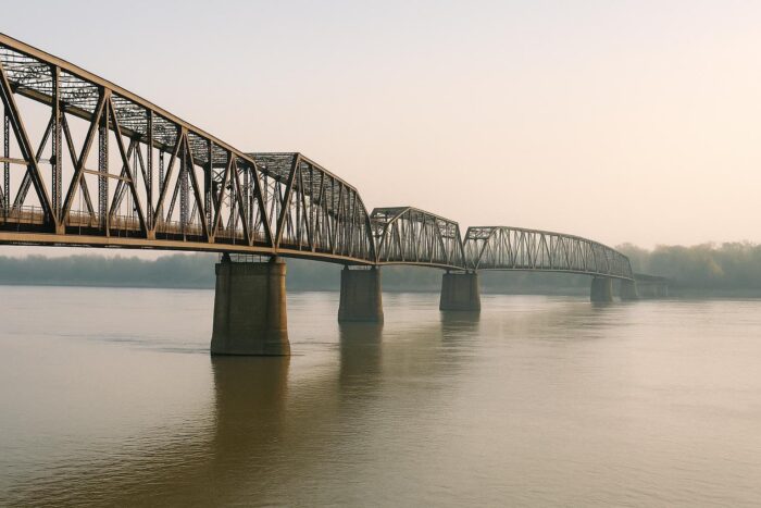
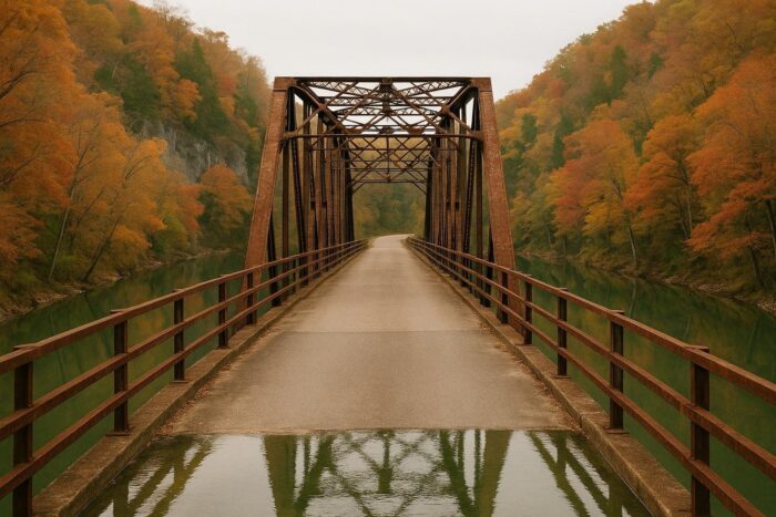
Coming from Illinois, the classic way into Missouri is the Old Chain of Rocks Bridge, the original Route 66 crossing of the Mississippi. It is closed to cars today but open to pedestrians and cyclists, so park and walk out over the river. From there the old road threads through the St. Louis area in several alignments before heading southwest toward the Meramec River valley.
Route 66 State Park and Times Beach
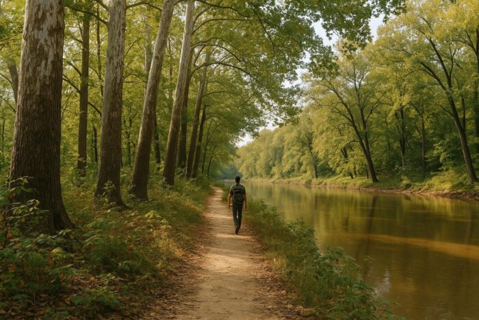
Route 66 State Park, about a mile east of Eureka, has one of the strangest back stories on the whole highway. It sits on the site of Times Beach, a former resort town on the Meramec River. After widespread dioxin contamination was discovered in the 1980s, the federal Environmental Protection Agency bought out the town, dismantled it and cleaned the site. The state park opened in 1997.
Today the park covers 424 acres with more than 10 miles of trails for hiking and biking through woods and along the river. Its visitor center occupies the Bridgehead Inn, a 1935 roadhouse that served Route 66 travelers under several names. Inside you will find Route 66 memorabilia and exhibits on the town’s cleanup. The old Route 66 bridge that once linked the visitor center to the rest of the park has long been closed for safety reasons, so reach the visitor center from I-44 exit 266 and check the park’s current status before you go.
Meramec Caverns, Cuba and the Ozarks
Near Stanton, Meramec Caverns opened in 1935 and became famous for painting its name on barn roofs across the country. It still leans on the legend that Jesse James and his gang used the cave as a hideout.
Cuba, farther west, was designated the “Route 66 Mural City” by the Missouri legislature in 2002, and its murals make for an easy walking stop. Just outside town, in Fanning, a giant rocking chair went up in 2008 next to the Fanning Outpost General Store. It was once billed as the world’s largest; today it goes by the Route 66 Rocker.
Past Rolla, where Missouri S&T has a partial replica of Stonehenge near the highway, the road winds into the Ozark hills around Devils Elbow, one of the prettiest bits of the Missouri section of Route 66, then continues to Waynesville and Lebanon. Lebanon’s Munger-Moss Motel, with its big neon sign, is one of the best-known motels on the road.
Springfield, Carthage and Joplin
Springfield calls itself the birthplace of Route 66, and the city has leaned into the 2026 centennial; the highway was designated on November 11, 1926, and events are running in all eight states this year. Springfield is also home to the site of Red’s Giant Hamburg, often described as the first drive-thru restaurant.
West of Springfield, the road runs through farm country to Carthage. There, the 66 Drive-In dates from 1949 and the restored Boots Court Motel from 1939; Red Oak II, a recreated small town, is a short detour. The last stretch passes through mining country around Carterville and Webb City before Joplin and the Kansas line, where Route 66 cuts across the corner of Kansas on its way to Oklahoma.
A two-day plan for Missouri
- Day 1: Chain of Rocks Bridge, Route 66 State Park, Meramec Caverns, Cuba and Fanning, then overnight in Rolla or Lebanon.
- Day 2: Devils Elbow in the morning if you skipped it, Springfield, Carthage and the 66 Drive-In if a show is on, then Joplin.
Missouri comes early in a westbound trip, right after Illinois. To see how it connects with Illinois and Oklahoma and how many days to give the whole drive, open our full Route 66 itinerary from Illinois to California. If you are still choosing between routes, our guide to the best scenic drives in the United States compares the big ones.
Fall is a lovely time here, when the Ozark hardwoods change color; summer is hot and humid, and spring can bring flooding along the rivers.
Missouri Route 66 FAQ
How long is the Missouri section of Route 66?
About 300 miles, depending on the alignment you follow, from St. Louis to the Kansas line west of Joplin.
Where is Route 66 State Park?
Near Eureka, southwest of St. Louis, on the site of the former town of Times Beach. The visitor center is reached from I-44 exit 266.
What is the most scenic part of Route 66 in Missouri?
The Ozark stretch between Rolla and Lebanon, especially around Devils Elbow.
How many days do I need for Route 66 in Missouri?
Two days covers the main stops at a relaxed pace. One long day is possible if you use I-44 between highlights.