How long is Route 66? The original 1926 alignment measured 2,448 miles from downtown Chicago to the Pacific coast, and most guides round today’s drive to about 2,400 miles. The exact number depends on which of the road’s many alignments you follow and how many detours you add.
Distance is only half of the question. Driving it nonstop would take roughly 40 to 50 hours behind the wheel, but almost nobody does that. Below you will find the length state by state, a realistic estimate of driving time, and how many days to set aside depending on your pace.
How long is Route 66 in America, exactly?
US Route 66 was commissioned in 1926 and removed from the federal highway system in 1985. During those decades it was straightened, rerouted and bypassed many times, so there is no single official length for the road you can drive today.
Three answers come up most often:
- 2,448 miles: the length of the original route, the number usually quoted in reference sources.
- About 2,400 miles: the round figure used by most travel guides for a Chicago to Santa Monica trip.
- Less on later alignments: in New Mexico, for example, the 1937 realignment cut out a long loop through Santa Fe.
Add side trips, such as the Grand Canyon from Williams or the loop through Santa Fe, and your odometer can easily pass 2,700 miles.
Route 66 length by state
State totals vary from one source to the next, because each state’s share depends on the alignment you count. The figures below are rough orders of magnitude, not official lengths.
| State | Approximate share of the road |
|---|---|
| Illinois | Roughly 300 miles, from Chicago to the Mississippi River |
| Missouri | Roughly 300 miles, depending on the alignment |
| Kansas | About 13 miles, the shortest section by far |
| Oklahoma | More than 400 drivable miles, according to the state’s tourism office |
| Texas | A short crossing of the Panhandle |
| New Mexico | One of the longest sections, especially on the pre-1937 loop through Santa Fe |
| Arizona | Close to 400 miles |
| California | A little over 300 miles, from Needles to Santa Monica |
The western half, from Oklahoma to California, accounts for most of the distance. Keep that in mind when you plan: the first days in Illinois and Missouri feel short, while New Mexico and Arizona need more time than people expect.
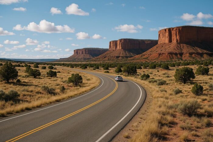
How long does it take to drive Route 66?
A quick way to estimate is to divide the distance by an average speed. On a mix of old two-lane road through towns and stretches of interstate, 50 to 60 mph is a realistic average once you count traffic lights and slowdowns. That gives roughly 40 to 50 hours of pure driving for 2,400 miles.
Spread over a trip, that time depends on how many hours you want to spend in the car each day:
| Daily distance | Driving per day | Days needed |
|---|---|---|
| 350 to 400 miles | 6 to 7 hours | 6 to 7 days |
| 250 to 300 miles | 5 hours | 8 to 10 days |
| 150 to 250 miles | 3 to 4 hours | 10 to 16 days |
These numbers do not include stops. On Route 66 the stops are the point: a museum visit, a slow lunch in a diner or a walk through a small downtown can each take one or two hours.
How many days should you plan?
7 days: the fast version
A week is possible if you mostly stay on the interstate and pick a handful of highlights, such as Chicago, St. Louis, Tulsa, Amarillo, Albuquerque, Seligman and Santa Monica. Expect long days and little time to explore.
10 to 12 days: a solid compromise
This leaves room for the best old segments, such as Tulsa to Oklahoma City or Seligman to Kingman, and a couple of short evenings to wander.
14 days: the recommended pace
Two weeks is the pace most travelers choose. You drive three to four hours a day, see the classic sights in every state and still have slack for weather or an unplanned stop. Our day-by-day Mother Road itinerary is built around this rhythm, with an overnight town for each of the 14 days.
3 weeks or more: the slow road
With three weeks you can add the Grand Canyon, the Santa Fe loop and rest days in towns like Albuquerque or Flagstaff without rushing.
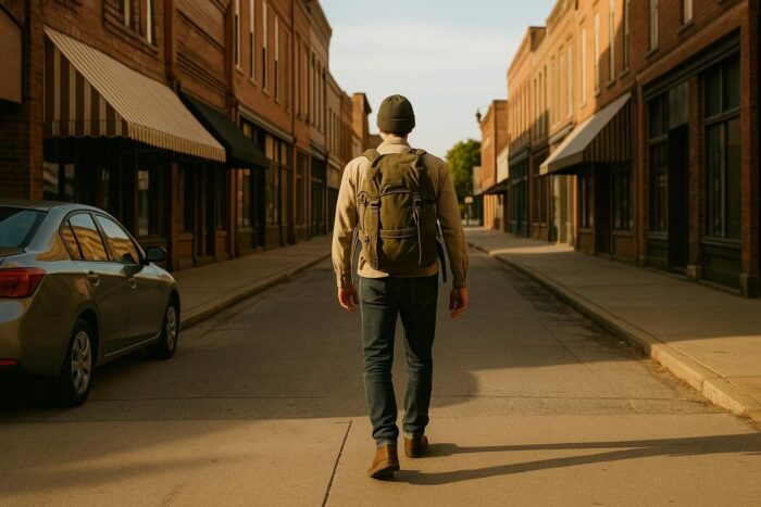
What slows you down on Route 66
- Two-lane roads and small towns. Speed limits drop in every town, and the old road is slower than the interstate beside it.
- Navigation. Several alignments exist, some segments are dead ends, and apps tend to send you back to the interstate. Budget extra time for wrong turns.
- Mountain and desert roads. The road over Sitgreaves Pass to Oatman is narrow and full of switchbacks, and services in the Mojave are far apart.
- Weather. Summer heat in the desert and winter snow around Flagstaff can both change your plans.
- Centennial crowds. In 2026, the road’s 100th year, festivals and car shows are drawing more traffic to some towns.
Driving just part of Route 66
If you only have a long weekend, pick one section instead of rushing the whole thing. Chicago to St. Louis covers roughly 300 miles of Illinois road. Tulsa to Oklahoma City is a short, classic two-lane run. In Arizona, Holbrook to Kingman packs the Petrified Forest, Winslow, Flagstaff, Williams and Seligman into a few days.
Route 66 is not the only long drive worth your time, either. For shorter or more scenic alternatives, look through other great American drives and compare distances before you choose.
FAQ: how long is Route 66
How many miles is Route 66 from Chicago to Santa Monica?
The original route measured 2,448 miles. Most modern trips come in at around 2,400 miles before detours.
Can you drive Route 66 in a week?
Yes, but you will spend six to seven hours a day driving and skip many of the slower historic segments.
What is the ideal number of days for Route 66?
Around 14 days. It keeps daily driving to three or four hours and leaves time for the sights.
Which state has the longest stretch of Route 66?
On the 1926 alignment, New Mexico ranks among the longest, because the road then looped north through Santa Fe. Exact state totals vary with the alignment you count. Kansas has the shortest, at just 13 miles.