A road trip on the USA West Coast, from Seattle to San Diego, strings together rainforest, volcanoes, redwoods, cliffs and surf beaches in a single drive. The direct route on Interstate 5 covers about 1,255 miles, but the trip worth taking hugs the coast on US 101 and Highway 1, which adds distance and a lot of scenery.
Plan at least 10 days for the full run, 14 if you want time to hike and linger. Below is a stage-by-stage West Coast USA road trip itinerary, the parks to prioritize and the practical points to check before you go.
The route in brief: your West Coast road trip map
Picture the map as three states stacked from north to south, with the highway pressed against the Pacific for most of the way:
- Washington: Seattle, Mount Rainier and the Olympic Peninsula.
- Oregon: 363 miles of US 101 along the coast, from the Columbia River to the California line.
- California: the redwoods, San Francisco, Big Sur, Los Angeles and San Diego.
The coastal roads are mostly two lanes, slow and curvy. Use I-5 to jump inland when you are short on time, and return to the coast for the best sections.
West Coast USA road trip itinerary, stage by stage
| Stage | Route | Approx. distance | Suggested time |
|---|---|---|---|
| 1 | Seattle to Mount Rainier | About 105 miles | 1 to 2 days |
| 2 | Olympic Peninsula (via Port Angeles) | About 140 miles from Seattle to Port Angeles | 2 days |
| 3 | Oregon Coast on US 101 | 363 miles | 2 to 3 days |
| 4 | Redwoods to San Francisco | Varies with detours | 2 days |
| 5 | San Francisco to Carmel, then Big Sur to Cambria | About 115 miles, then about 100 miles | 2 days |
| 6 | Central Coast to Los Angeles, then San Diego | About 120 miles from LA to San Diego | 2 days |
Washington: mountains and rainforest
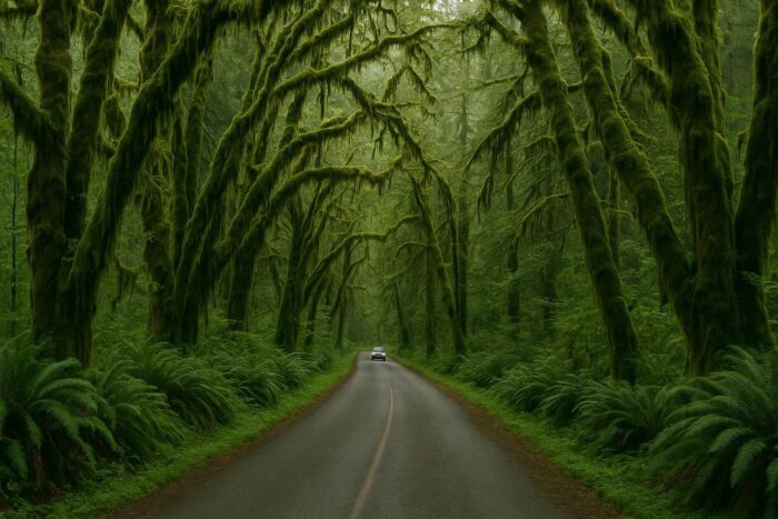
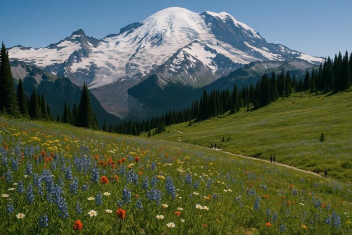
Start with Mount Rainier National Park, about 105 miles from Seattle. Paradise and Sunrise are the classic viewpoints; the higher roads are seasonal, so check which are open. Then loop onto the Olympic Peninsula via Port Angeles for Olympic National Park, where you can see mountains, temperate rainforest and wild beaches in the same park.
Oregon: the coast highway
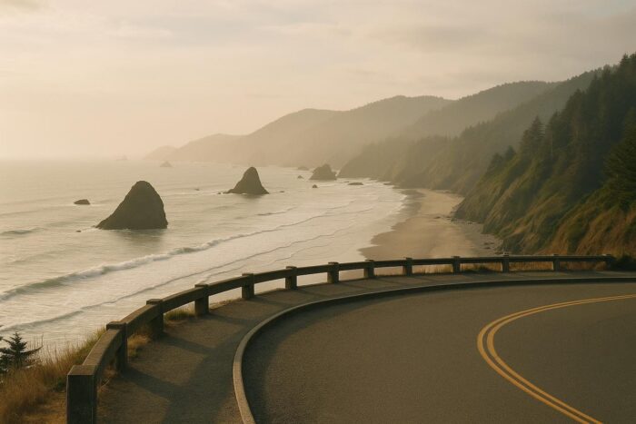
The Oregon Coast Highway runs 363 miles, from the Washington line near Astoria to the California border south of Brookings. Cannon Beach and Haystack Rock are the famous first stop, but the whole coast is lined with state parks, lighthouses and viewpoints. Two or three days lets you stop without rushing. If you have an extra day, Crater Lake National Park is a worthwhile inland detour.
Northern California: redwoods and the Golden Gate
Crossing into California, Redwood National and State Parks protect some of the tallest trees on Earth. Farther south, the Avenue of the Giants is a 31-mile road through Humboldt Redwoods State Park that runs parallel to US 101 along the Eel River. Then continue to San Francisco and the Golden Gate Bridge.
Central and Southern California: Big Sur to San Diego
Good news for 2026: Highway 1 through Big Sur is open end to end. Caltrans reopened the last closed section at Regent’s Slide on January 14, 2026, restoring continuous travel between Carmel and Cambria for the first time in almost three years. Parts of the road closed again in summer 2026 because of the Timber and Plaskett fires, and it fully reopened on September 14, 2026. Give this stretch a full day. Then continue south through the Central Coast to Santa Barbara, Los Angeles and finally San Diego, about 120 miles past LA.
Best time for a West Coast road trip
Late spring through early fall is the easiest window. The Pacific Northwest is drier in summer, and mountain roads at Rainier are more likely to be open. Coastal California can be foggy in early summer, while September and October often bring clearer skies. Winter is possible, but expect rain in the north and occasional closures after storms. Wildfire smoke can also affect some regions in late summer and fall, so check air quality before long hikes.
Practical tips for the best road trip on the West Coast
- Drive north to south. Southbound, you are in the lane closest to the ocean on the coastal highways, which makes pull-offs easier.
- Watch the one-way fee. Picking up a rental in Seattle and dropping it in San Diego usually adds a drop-off charge. Compare it against a loop.
- Check road status. Coastal highways can close after landslides. Caltrans and the Oregon and Washington transportation departments post current conditions.
- Book popular stays early. Big Sur, the Oregon coast and national park lodging fill up fast in summer.
- Plan fuel stops. Services are thin along Big Sur and parts of the Olympic Peninsula.
If you are still comparing this route with other regions, our road trip ideas cover every corner of the country by season and travel style. And to see where the Pacific coast ranks among the famous American drives, check the country’s most celebrated scenic drives.
West Coast road trip FAQ
How long does a Seattle to San Diego road trip take?
Driving straight down I-5 is about 1,255 miles. Following the coast with stops, plan 10 days at minimum and ideally two weeks.
Is Highway 1 through Big Sur open in 2026?
Yes. The last closed section at Regent’s Slide reopened on January 14, 2026, and after summer wildfire closures, Highway 1 fully reopened through Big Sur on September 14, 2026. Check Caltrans before you go, since storms can trigger new closures.
Which direction is best for a West Coast road trip?
North to south. You drive on the ocean side of the road, which makes viewpoints and pull-offs easier to reach.
What are the must-see parks on the West Coast?
Mount Rainier, Olympic, Redwood National and State Parks, and the Big Sur coast. Crater Lake is a strong inland addition in Oregon.