A regular weather app tells you the forecast for one place. A weather forecast for road trip planning has to answer a harder question: what will the conditions be at each point of the route, at the time you actually drive through it? Rain at your destination tonight matters less than snow on the mountain pass you cross at noon.
Here is how to check the weather along an entire itinerary in the United States, which tools do the job, which seasons are risky in which regions and which scenic roads simply close for the winter.
Why a city forecast is not enough on the road
A day of driving can cross several climates. Leaving the coast in fog, climbing into the mountains and dropping into a hot desert valley in the same afternoon is common in the West. Elevation changes the picture most: a pass a few thousand feet above the valley can get snow while the towns below get rain.
Timing matters as much as place. Afternoon thunderstorms, morning fog and overnight ice all depend on the hour. That is why the best approach combines a forecast for each stop with a forecast along the route itself.
The best tools to check the weather along your route
| Tool | What it does | Best used for |
|---|---|---|
| National Weather Service (weather.gov) | Official point forecasts, hourly graphs and weather alerts for any location | Detailed forecasts for passes, parks and overnight stops |
| 511 road information | State-run phone line and websites with closures, construction and winter road conditions | Checking whether a road is open before you leave |
| Weather on the Way | App that shows the forecast along your driving route at the time you will be there | Spotting rain, snow or wind on a specific leg |
| Drive Weather | App that matches the forecast to your route and estimated arrival time, with radar and alerts | Same use, with radar on the way |
The two route apps offer extra features, such as longer forecasts or route comparison, in paid versions. The official sources are free. The 511 number was designated by the Federal Communications Commission in 2000 as the single traffic information number for states and local jurisdictions; each state runs its own system, so dial it from inside the state or use that state’s 511 website.
A simple routine before and during the trip
- One month out: check seasonal closures for any high road on your list and read the typical conditions for the season.
- One week out: start following the forecast for each overnight stop. Longer-range forecasts are trends, not promises.
- The evening before each leg: run the route in a weather-along-the-route app and look at NWS alerts for the counties you cross.
- The morning of: check 511 for closures and chain controls, then adjust the departure time if a storm is due at a pass.
Weather checks are only one part of preparation. For the full picture, from choosing the route to booking the car, see our guide on how to plan a road trip.
Seasons to avoid, region by region
Mountain West in winter and early spring
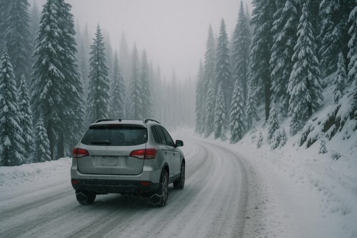
Snow closes high roads and makes passes slow or dangerous. Some states require chains or traction tires during storms. If your route crosses the Rockies or the Sierra Nevada between November and May, keep a spare day in the plan.
Gulf and Atlantic coasts in late summer and fall
The Atlantic hurricane season runs from June 1 to November 30. According to the National Hurricane Center, most activity occurs between mid-August and mid-October, with a peak around September 10. Coastal drives in Florida, the Carolinas or along the Gulf are still possible in that window, but watch the tropical outlook and keep bookings flexible.
Deserts in summer
Death Valley, the Mojave and the low deserts of Arizona get extreme heat in summer. Drive early, carry plenty of water and avoid long walks at midday. Summer storms in the desert Southwest can also cause flash floods in canyons and washes.
California coast in winter
Big Sur is periodically closed by landslides, most often in winter and spring. Highway 1 reopened through Big Sur on January 14, 2026, after the Regent’s Slide repairs, but a heavy storm season can close sections again, so check before you go.
Scenic roads that close in winter
Several of the country’s most beautiful drives are seasonal. Dates vary every year with snow, so treat them as typical windows.
| Road | Where | Typical open season |
|---|---|---|
| Tioga Road | Yosemite National Park, California | Late May or June to November |
| Trail Ridge Road | Rocky Mountain National Park, Colorado | End of May through October |
| Beartooth Highway | Montana and Wyoming | Late May or early June to early or mid-October |
If one of these is the highlight of your trip, travel in July, August or September for the best odds. When you are still deciding where to go, our overview of the most beautiful drives in the country gives the best season for each classic route.
FAQ: road trip weather
How far ahead can I trust a road trip weather forecast?
The first few days are the most useful for decisions. Beyond that, use the forecast as a trend and confirm it the evening before each leg.
What is the best free way to check the weather along a route?
Combine weather.gov point forecasts for passes and stops with your state’s 511 service for road conditions. Both are free.
Should I cancel a road trip because of a bad forecast?
Rarely. Shifting a leg by a day, changing the order of stops or taking a lower route usually works. Keep one flexible day for this.
Where do I check if a scenic road is closed?
For roads inside national parks, check the park’s page on nps.gov. For state highways, use the state’s 511 website or phone line.