Big Bend National Park covers 801,163 acres of desert, mountains and river canyons in far West Texas, where the Rio Grande makes its sharp turn along the border with Mexico. It is one of the largest and most remote parks in the lower 48, and it saw about 568,000 visits in 2025, a fraction of the crowds at the famous western parks.
That remoteness is the point, and it is also the main planning challenge. This guide covers the scenic drives, the Chisos Mountains, the river, how to handle distances and fuel, when to go and how to link Big Bend with other parks in West Texas and New Mexico.
Big Bend National Park at a glance
| Item | Details |
|---|---|
| Location | West Texas, on the Rio Grande |
| Established | June 12, 1944 |
| Entrance fee | $30 per private vehicle, valid 7 days (cards only) |
| Park annual pass | $55 |
| Highest point | Emory Peak, 7,832 feet, in the Chisos Mountains |
| River frontage | About 118 miles of the Rio Grande |
| Fuel in the park | Panther Junction and Rio Grande Village |
| Night sky | International Dark Sky Park since 2012 |
The entrance stations take credit or debit cards only. If you plan to visit several parks on the same trip, the America the Beautiful resident annual pass costs $80 in 2026 and covers the entrance fee here and at every other national park.
Ross Maxwell Scenic Drive
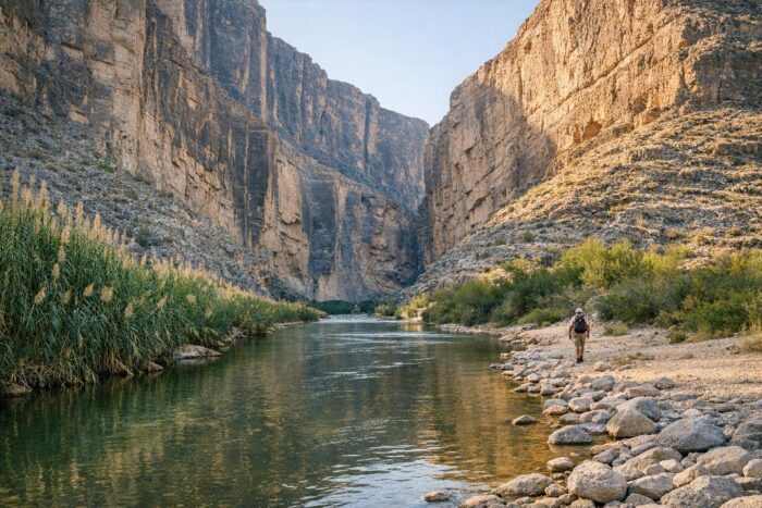
If you only have time for one road in Big Bend, make it the Ross Maxwell Scenic Drive. This paved, 30-mile road leaves the main park road west of Panther Junction and runs south through volcanic country to the Rio Grande, ending at Santa Elena Canyon.
Stops worth making along the way:
- Sotol Vista for a wide view across the western desert toward the canyon.
- Homer Wilson (Blue Creek) Ranch and Sam Nail Ranch, two traces of ranching life in the desert.
- Mule Ears Overlook, facing the twin volcanic spires that give it its name.
- Tuff Canyon, a short gorge cut through pale volcanic ash.
- Castolon Historic Compound, with a visitor center and camp store, but no fuel.
- Santa Elena Canyon, where limestone walls rise about 1,500 feet above the river. An easy 1.4-mile round-trip trail leads into the canyon mouth.
Allow at least half a day. You can drive back the same way or, in a high-clearance vehicle and dry weather, return on the gravel Old Maverick Road toward the western entrance. The park warns it can become impassable after heavy rain, so ask at a visitor center first.
The Chisos Mountains
The Chisos Mountains rise in the middle of the park, an island of cooler air, oak and pine above the desert. The paved Chisos Basin Road climbs more than 2,000 feet in 6 miles, with sharp curves and grades up to 15 percent. It is not recommended for trailers longer than 20 feet or RVs over 24 feet.
The basin is the starting point for the park’s best-known hikes:
- Window View Trail, 0.3 miles, an easy sunset walk.
- Window Trail, 6 miles round trip, down to a pour-off framing the desert below.
- Lost Mine Trail, 5 miles round trip, with some of the best mountain views in the park.
As of mid-October 2026, the Chisos Basin Visitor Center is open daily, while the lodge restaurant is closed and a food truck serves meals outside the main lodge building. Services in the basin change, so check the park’s conditions page before you count on a meal or a room.
The Rio Grande side
The 21-mile road from Panther Junction to Rio Grande Village drops nearly 2,000 feet toward the river, with views of the Sierra del Carmen escarpment in Mexico. Along it you will find the Dugout Wells picnic area, the Historic Hot Springs, a short hike into Boquillas Canyon and the Rio Grande Village Nature Trail, a good birding spot with a wetland viewing platform.
The Boquillas Port of Entry lets visitors cross to the small village of Boquillas del Carmen. In October 2026 it is open Friday through Monday, 9 a.m. to 4 p.m., and you need a valid passport to come back.
Distance and fuel: planning for remoteness
Big Bend is far from everything. Alpine is the nearest sizable town, and the drive from any major city takes most of a day. Inside the park, the main roads are long too: 28 miles from the north entrance at Persimmon Gap to Panther Junction, 23 miles from the western Maverick entrance, 21 more to Rio Grande Village and 30 to Santa Elena Canyon.
| Fuel stop | Notes |
|---|---|
| Panther Junction | Park headquarters area, pumps open 24 hours with card payment |
| Rio Grande Village | Gas and diesel, pumps open 24 hours with card payment |
| Castolon | No fuel |
| Outside the park | Study Butte and Lajitas to the west, the Stillwell Store north of the park |
A few simple rules keep the trip easy:
- Fill up in Alpine, Marathon or Study Butte before entering, and top off at Panther Junction before long drives.
- Carry plenty of water in the car, not just in your daypack.
- Expect weak or no cell service across much of the park, and download offline maps.
- Stick to paved roads unless you have the right vehicle and have checked conditions.
Best season to visit Big Bend
Summer in the desert is brutal: the park describes it as “remote, beautiful, and HOT”, and late-spring and summer days often top 100°F at lower elevations. The mild months, roughly late October through April, are when most people come and when hiking along the river and in the desert is comfortable.
- Fall (late October to November): pleasant temperatures and Cottonwood Campground, closed for the summer, reopens on November 1.
- Winter: sunny, mild days in the desert, with cold nights and occasional ice in the Chisos.
- Spring: desert blooms and plenty of company, so book campsites and rooms early.
- Summer: early mornings and the higher Chisos only. Avoid long desert hikes.
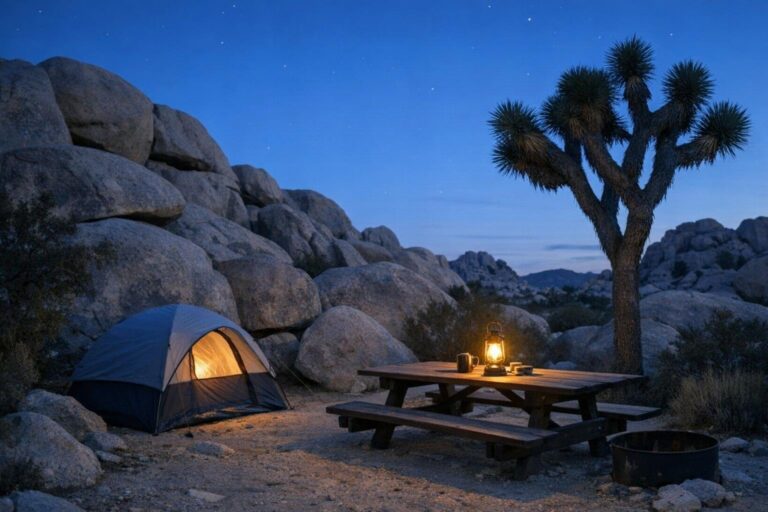
Whatever the season, plan at least one night under the stars. The park’s dark sky status makes it one of the best places in the country to see the Milky Way.
How many days in Big Bend
Because getting there takes so long, two full days is the realistic minimum. Spend one on the Ross Maxwell Scenic Drive and Santa Elena Canyon, and another in the Chisos Basin and along the road to Rio Grande Village. A third day lets you add Boquillas, the hot springs or a longer hike without rushing.
A West Texas and New Mexico park loop
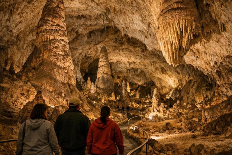
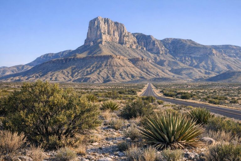
Big Bend pairs naturally with three other parks to the northwest. Guadalupe Mountains National Park, home of Guadalupe Peak, the highest point in Texas, is a long day’s drive from Big Bend. Carlsbad Caverns sits just across the New Mexico line, about 25 miles north of the Guadalupe Mountains. White Sands, with its gypsum dunes, is farther west near Alamogordo.
| Day | Plan |
|---|---|
| 1 to 3 | Big Bend: Ross Maxwell Scenic Drive, Chisos Basin, Rio Grande |
| 4 | Drive north to the Guadalupe Mountains |
| 5 | Guadalupe Peak or McKittrick Canyon |
| 6 | Carlsbad Caverns |
| 7 to 8 | Drive west to White Sands, sunset on the dunes |
That loop strings together some of the most scenic national parks in the country and works best between late October and April, when the desert is mild. Carry the same habits throughout: full tank, extra water and an early start.
Big Bend National Park FAQ
How much does it cost to enter Big Bend?
$30 per private vehicle, valid for seven days. The park takes credit or debit cards only.
Is there gas in Big Bend National Park?
Yes, at Panther Junction and Rio Grande Village, both with 24-hour card pumps. There is no fuel at Castolon near Santa Elena Canyon.
What is the best month to visit Big Bend?
The mild season runs from roughly late October to April. Summer days often exceed 100°F in the lower desert.
Do I need a passport in Big Bend?
Only to cross to Boquillas del Carmen in Mexico through the Boquillas Port of Entry.