Route 66 starts in downtown Chicago, Illinois, and ends in Santa Monica, California, on the Pacific coast. In between it covers about 2,400 miles (2,448 on the original 1926 alignment) and crosses eight states.
That is the short answer. The longer one is more interesting, because the exact start and end points have moved over the years, and in 2026 Chicago added a brand-new symbolic starting line. Here is where to stand for your first and last photos, and where the road goes in between.
Where does Route 66 start?
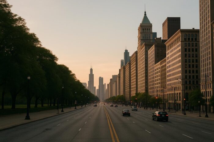
The eastern end of the road is in downtown Chicago, next to Grant Park and a few blocks from Lake Michigan. When the highway was commissioned in 1926, it began at the corner of Jackson Boulevard and Michigan Avenue. It was later extended a short distance east to Lake Shore Drive in the late 1930s.
Today there are three places people call the start:
- The Begin Route 66 sign on Adams Street. The best-known sign stands on East Adams Street just west of Michigan Avenue, across from the Art Institute of Chicago. It faces westbound traffic, which is the direction you will be driving.
- Jackson Boulevard and Michigan Avenue. The original 1926 terminus. Downtown streets are one-way, so westbound travelers leave on Adams and eastbound travelers arrive on Jackson.
- Navy Pier. On March 25, 2026, as part of the centennial, Chicago dedicated Navy Pier as the new symbolic starting point of Historic Route 66, creating a “pier-to-pier” link with Santa Monica.
Most travelers take a photo at the Adams Street sign and then eat breakfast at Lou Mitchell’s, a diner that has served Route 66 travelers near the start since 1923. You can add Navy Pier as a bonus stop on your way out of town.
Where does Route 66 end?
The western end is in Santa Monica, just west of Los Angeles. When the road opened, it actually stopped in downtown Los Angeles. In the mid-1930s it was extended to the corner of Lincoln Boulevard and Olympic Boulevard in Santa Monica, which is the official historic terminus.
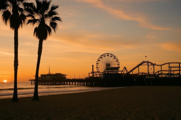
The spot everyone remembers is the End of the Trail sign on Santa Monica Pier. It is symbolic rather than official, but ending the drive with the Pacific in front of you is hard to beat, and it pairs neatly with the Navy Pier start.
Route 66 start and end points at a glance
| Point | Location | Status |
|---|---|---|
| Original start (1926) | Jackson Blvd and Michigan Ave, Chicago | Historic terminus |
| Begin Route 66 sign | E. Adams St near Michigan Ave, Chicago | Most photographed start |
| Navy Pier | Chicago lakefront | Symbolic start since March 2026 |
| Original end (1926) | Downtown Los Angeles | Historic terminus until the 1930s |
| Lincoln and Olympic Blvds | Santa Monica | Official western terminus after the extension |
| End of the Trail sign | Santa Monica Pier | Symbolic finish line |
Where is Route 66? The path between the two ends
If you picture a map of the USA, Route 66 runs diagonally from the southern tip of Lake Michigan toward the southwest. It heads down to St. Louis, crosses the Ozarks of southern Missouri, clips a corner of Kansas, then runs through Tulsa and Oklahoma City. From there it goes almost due west across the Texas Panhandle, New Mexico, northern Arizona and the Mojave Desert before dropping into the Los Angeles basin.
Much of that line is shadowed today by I-55, I-44 and I-40, with the old road running alongside the interstate or through the towns it bypassed.
Route 66 states: the eight states it crosses
Route 66 crosses eight states. Their share of the road varies with the alignment you count, so the list below sticks to the main towns in each one.
- Illinois: Chicago, Joliet, Pontiac, Springfield.
- Missouri: St. Louis, Rolla, Springfield, Joplin.
- Kansas: Galena, Riverton, Baxter Springs. The shortest state section by far, at about 13 miles.
- Oklahoma: Tulsa, Oklahoma City, Clinton, Elk City.
- Texas: Shamrock, Amarillo, Adrian, across the Panhandle.
- New Mexico: Tucumcari, Santa Rosa, Albuquerque, Gallup. Before 1937 the road looped north through Santa Fe, which made this one of the longest state sections.
- Arizona: Holbrook, Winslow, Flagstaff, Williams, Kingman.
- California: Needles, Barstow, San Bernardino, Pasadena, Santa Monica.
The halfway point sits in Adrian, Texas, where the MidPoint Cafe claims to be 1,139 miles from both Chicago and Los Angeles.
Which direction should you drive?
Westbound, from Chicago to Santa Monica, is the classic choice. It follows the path of the Dust Bowl migrants and 1950s vacationers, the Begin signs face you, and the trip ends at the ocean. Eastbound works just as well if you live in the West or find a cheaper one-way rental in that direction.
Once you know where you are starting, the next step is timing and stops. Our guide to driving Route 66 lays out a two-week itinerary from the Adams Street sign to the pier. If you are still weighing it against other options, browse the top road trip routes in the United States.
FAQ: Route 66 start and end
Does Route 66 start in Chicago or Los Angeles?
Officially it starts in Chicago and ends in California. You can drive it in either direction, but signs and guidebooks usually count from Chicago.
Is the Route 66 end sign on Santa Monica Pier the official end?
No. It is symbolic. The historic western terminus is the intersection of Lincoln and Olympic Boulevards in Santa Monica.
Where is the Begin Route 66 sign in Chicago?
On East Adams Street just west of Michigan Avenue, across from the Art Institute of Chicago.
How many states does Route 66 go through?
Eight: Illinois, Missouri, Kansas, Oklahoma, Texas, New Mexico, Arizona and California.