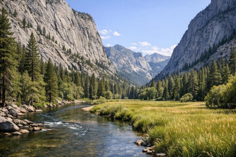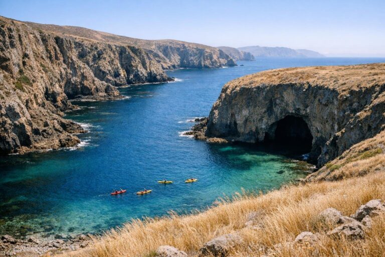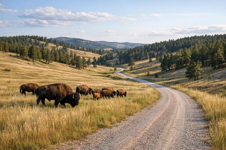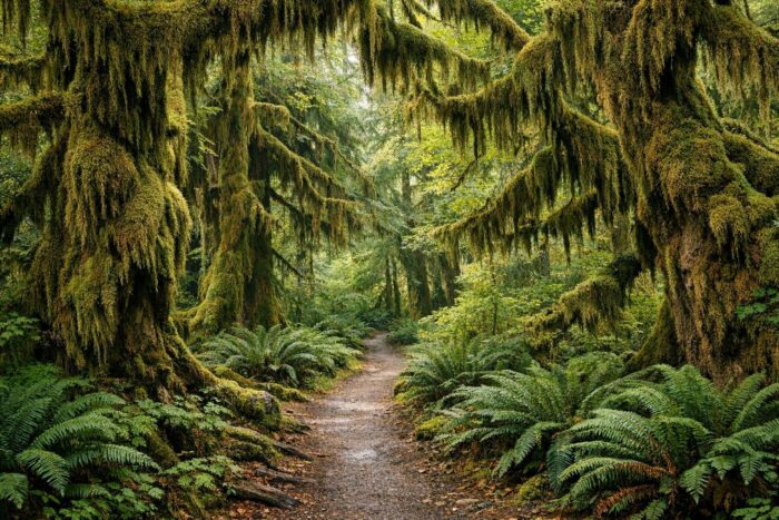
Olympic National Park is three parks in one: glaciated mountains in the middle, temperate rain forest on the west side and a long stretch of wild Pacific coast. What makes it unusual for a road trip is that no road crosses it. You drive around it on US-101 and take short spur roads into each area, so the trip shapes itself into a loop.
This guide follows that loop clockwise from Port Angeles, with the stops that justify the miles: Hurricane Ridge, Lake Crescent, the Hoh Rain Forest and Ruby Beach. It also covers fees, the best season and how many days you need.
Olympic National Park at a glance
The park covers about 922,650 acres on Washington’s Olympic Peninsula, west of Seattle across Puget Sound. Congress created it in 1938, and UNESCO listed it as a World Heritage Site in 1981. Mount Olympus, the highest summit, reaches 7,965 feet, while the west-side valleys sit close to sea level.
| Area | Access from US-101 | What you come for |
|---|---|---|
| Hurricane Ridge | 17-mile road south of Port Angeles | Mountain views, subalpine meadows, ridge trails |
| Lake Crescent | Directly along US-101 west of Port Angeles | Deep glacial lake, short forest walks |
| Sol Duc | Spur road off US-101 near Lake Crescent | Old-growth forest, Sol Duc Falls |
| Hoh Rain Forest | Upper Hoh Road, off US-101 south of Forks | Moss-draped temperate rain forest |
| Ruby Beach and the Kalaloch coast | Pullouts right on US-101 | Sea stacks, driftwood, tide pools |
The US-101 loop around the Olympic Peninsula
US-101 wraps around the north, west and east sides of the peninsula, and the park’s highlights hang off it like beads on a string. Most travelers start in Port Angeles, the largest town on the north shore and the gateway to Hurricane Ridge, then head west and south along the coast before returning toward Olympia or Seattle on the east side.
Plan the drive around the spur roads rather than the highway. The main road is easy; the time goes into the side trips, each of which is an out-and-back. Fuel up and buy groceries in Port Angeles and Forks, because services inside the park are limited and spread out.
A sample clockwise route
- Port Angeles and Hurricane Ridge. Drive up in the morning before clouds build, then come back down to town.
- Lake Crescent and Sol Duc. Follow US-101 along the lake shore, then take the Sol Duc road to the falls trail.
- Forks and the Hoh Rain Forest. Leave the highway on the Upper Hoh Road for the rain forest trails.
- Ruby Beach and Kalaloch. Back on US-101, the road finally meets the ocean.
- Return along the east side. Continue south and east toward Olympia, or loop back up Hood Canal toward Seattle.
Hurricane Ridge: the mountain side
Hurricane Ridge is the easiest way to get into the Olympic Mountains by car. The park places it 17 miles south of Port Angeles on Hurricane Ridge Road, which climbs steadily to a ridgeline with views across the interior peaks and, on clear days, north toward the Strait of Juan de Fuca. Ridgetop trails and paths down to subalpine lakes start from the top.
Two things to know before you go. The Hurricane Ridge Day Lodge burned down in May 2023, so expect limited services and bring your own water and food. And the road follows different rules in winter: it is scheduled to open Friday through Sunday and on holiday Mondays, weather permitting, and every vehicle must carry tire chains during the winter season. In summer it is open daily.
Lake Crescent and Sol Duc
West of Port Angeles, US-101 runs right along the south shore of Lake Crescent, a long, deep lake surrounded by forested hills. It is one of the prettiest stretches of highway on the whole loop, and there are several pullouts and picnic areas where you can stop for the water color alone.
Just past the lake, the Sol Duc road heads south into an old-growth valley. The short forest walk to Sol Duc Falls is one of the most popular easy hikes in the park and pairs well with a stop at the lake on the same afternoon.
Hoh Rain Forest: the wettest stop on the trip
The Hoh is the reason many people drive this far west. According to the National Park Service, the area receives about 140 inches of precipitation a year, which feeds the thick moss, ferns and giant spruce and hemlock that make the valley look unlike anywhere else in the lower 48 states.
You reach it on the Upper Hoh Road, which branches off US-101 south of Forks. Two short loops start near the visitor center:
- Hall of Mosses Trail: about 0.8 mile, the classic walk under maples draped in moss.
- Spruce Nature Trail: about 1.2 miles, following Taft Creek and the Hoh River.
The parking area fills up on summer days, so arrive early in the morning or late in the afternoon. Rain is part of the experience here; a light shower usually makes the forest look better, not worse.
Ruby Beach and the Kalaloch coast
South of the Hoh, US-101 finally reaches the Pacific along the park’s coastal strip. Ruby Beach is the first stop most people make: a short trail drops from the parking lot to a beach scattered with drift logs, with sea stacks standing just offshore. Come at low tide if you want to explore the rocks, and check a tide table before walking around any headland.
A few miles farther south, the Kalaloch area offers more beach access points right off the highway. It is also home to the Kalaloch Big Cedar, a western redcedar believed to be more than 1,000 years old; part of it fell in a 2014 winter storm, but the rest still stands. Sunsets on this stretch of coast are worth planning dinner around.
How many days do you need in Olympic National Park?
Because every highlight sits at the end of its own spur road, Olympic takes longer than a glance at the map suggests. Here is a realistic breakdown:
| Time available | What fits |
|---|---|
| 1 day | Hurricane Ridge and Lake Crescent from Port Angeles, or the Hoh and Ruby Beach from Forks. Not both. |
| 2 days | North side on day one, Hoh and Ruby Beach on day two, with a night near Forks |
| 3 to 4 days | The full loop with Sol Duc, the coast at sunset and time for a longer hike |
Three days is the sweet spot for most road trippers: one base on the north side, one on the west side, and a relaxed drive back.
Fees, passes and when to go
The park charges $30 per private vehicle, valid for seven consecutive days, and $15 per person on foot or by bike. An Olympic annual pass costs $55. If Olympic is one stop among several, the America the Beautiful pass covers entrance at all national parks; the non-resident version costs $250. The park also lets you pay the entrance fee in advance on Recreation.gov to shorten the lines at entrance stations.
July through September brings the driest weather and the best chance of clear views from Hurricane Ridge. Spring and fall are quieter and greener, but rain is frequent on the coast and in the Hoh. Winter turns Hurricane Ridge into a snow-play area on weekends, while the coast stays open year-round.
Adding Olympic to a bigger Pacific Northwest trip
Olympic fits naturally into a longer West Coast itinerary. Mount Rainier lies a few hours to the southeast, and US-101 keeps running south along the coast through Oregon toward the redwoods of Northern California. If you are building a multi-park trip, our guide to the national parks worth the drive helps you choose which ones to link together and how long to spend in each.
Olympic National Park FAQ
Is there a road through Olympic National Park?
No. No road crosses the park’s mountainous interior. You drive around it on US-101 and reach each area by its own spur road.
Do you need a reservation to enter Olympic National Park?
The park does not list a timed-entry system. You pay the entrance fee at the gate or online in advance. Wilderness camping requires a permit.
Can you see Ruby Beach and the Hoh Rain Forest in one day?
Yes. They are on the same side of the peninsula, and an early start lets you walk the Hoh trails in the morning and reach Ruby Beach for the afternoon.
Is Hurricane Ridge open in winter?
The road is scheduled to open Friday through Sunday and on holiday Mondays in winter, weather permitting. All vehicles must carry tire chains.